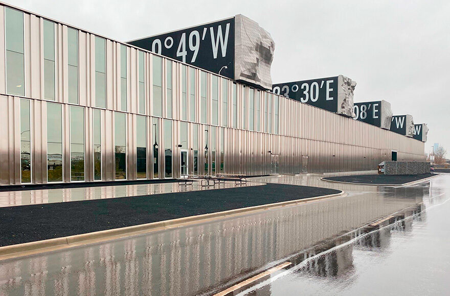
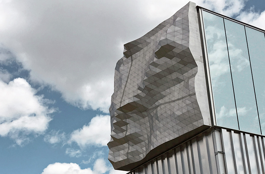
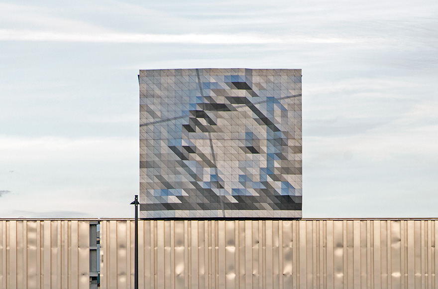
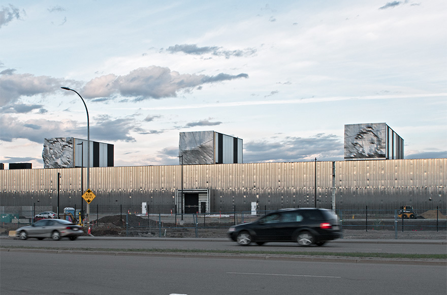
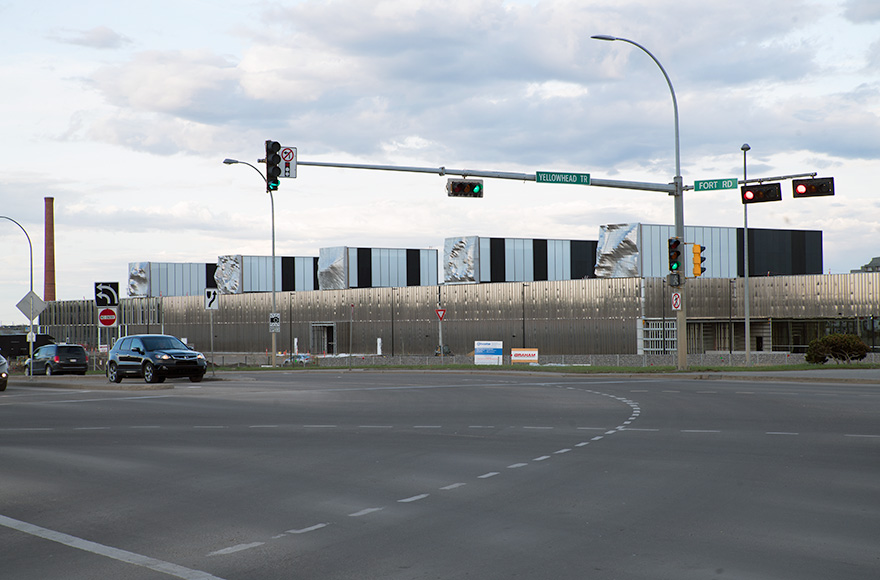
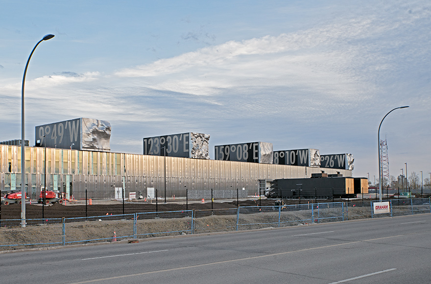
A collection of five topographic models of mountain-landscapes from different parts of the world, which are on the same latitude as the city of Edmonton in Canada.
They are made of stainless-steel, each 7 x 7 m and different heights and are mounted upright on the facing sides of the lanterns on the roof of the new Kathleen-Andrews-Transit-Garage building in Edmonton, Alberta. The corresponding longitudinal coordinates are written on the sides of the lanterns.
The terrain-models in the scale of ca. 1:1.000 - 1:3.000 depict locations in five geographic areas: Mount Chown (Alberta), the crater of Mount Okmok (Umnak Island in the Aleutians), Zhupanovsky Crater (Kamchatka, Russia), an unnamed landscape near Dacaodianzi, Heilongjiang Sheng (China) and Mweelrea (Connaught, Ireland).
By strictly following the path of a latitude in a westerly direction I refer not only to the popular game of spinning a globe—or these days a digital on-screen earth—and waiting excitedly to see which location the finger or cursor will point to when the globe stops. At the same time, I draw a historical parallel to the great seafarers and travellers of previous centuries, who preferred to follow a latitude to go west.
But people travelled along the latitudes not only because of their desire to understand the earth better, but also because it held the promise of discovering hitherto unknown paradisiacal lands which nonetheless were thought to exist. This move westward has left its traces in this vast landscape.
So the array of topographies from this line tells of a journey along the 53th parallel around the world. 53°30’N gives the geographic latitude that creates a fictitious line to the largely unknown places whose longitudinal coordinates are written on the sides of the lanterns.
Client: City of Edmonton, Edmonton Arts Council AB/Canada
Architect: gh3*, Pat Hanson, Toronto, ON/Canada
Planned completion 2020.
Fotos 1-5: Thorsten Goldberg
Foto 6: David Dodge, GreenEnergyFutures.ca

