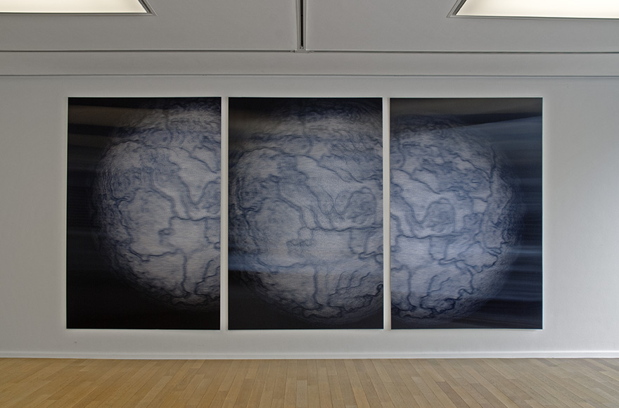
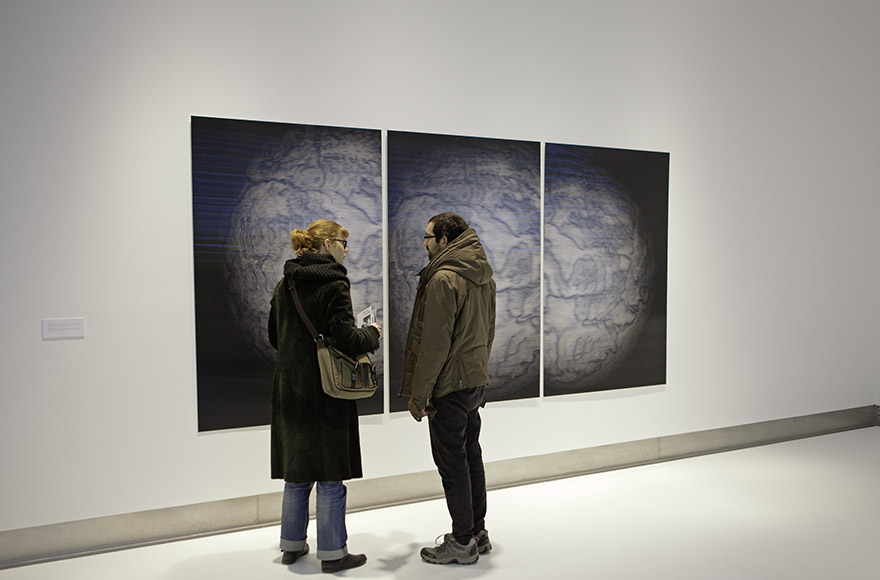
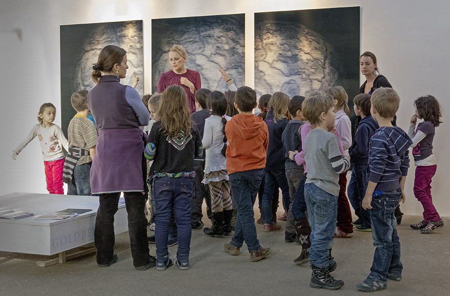
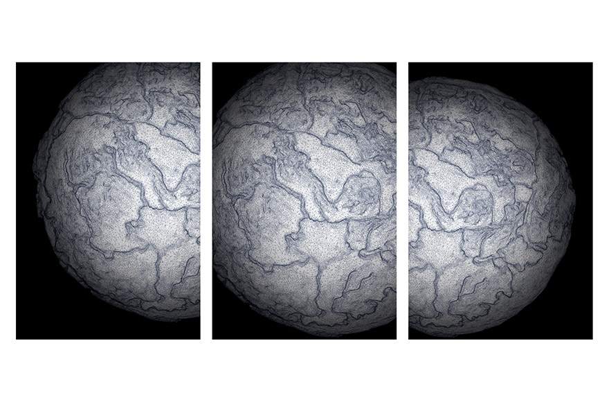
Stereoscopic photo on lenticular foil, three panels, 360 x 180 cm, 2012.
A sculptural recreation of the fictitious map “Accurata Utopia Tabula” by Johann Baptist Homann (c. 1700) was measured in three dimensions, scanned and printed from different views to produce a stereoscopic image. The “Accurata Utopia Tabula” map was made by the German cartographer Johann Baptist Homann (1664–1724). It puts the travel account “Erklärung der Wunder-seltzamen Land-Charten UTOPIÆ” (Explanation of the wonderful and strange map of UTOPIA) by the imperial general Andreas Schnebelin into a scientific context, since it maps out longed-for places and depicts with great accuracy an area of the utopian world consisting of 17 provinces and several groups of islands. In a work from 1494, Sebastian Brants described the Land of Milk and Honey as a parody of paradise. It is a fictitious place where all conceivable human desires are fulfilled.


